Editing data in a table
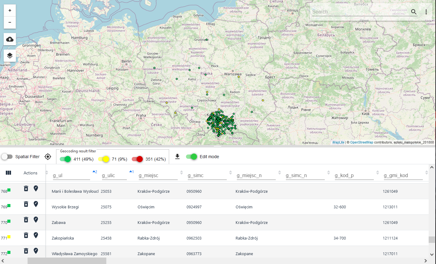
In addition to viewing the geocoding results, you can edit the data directly in the table. The function of editing the data loaded into the table allows adding information or deleting it. The function allows the user to change the data in the table without having to correct them in the source table and reload them into the application. To activate the function of editing objects in the table, the user activates the button ( ) {Edit mode}.

Edit an object in a table
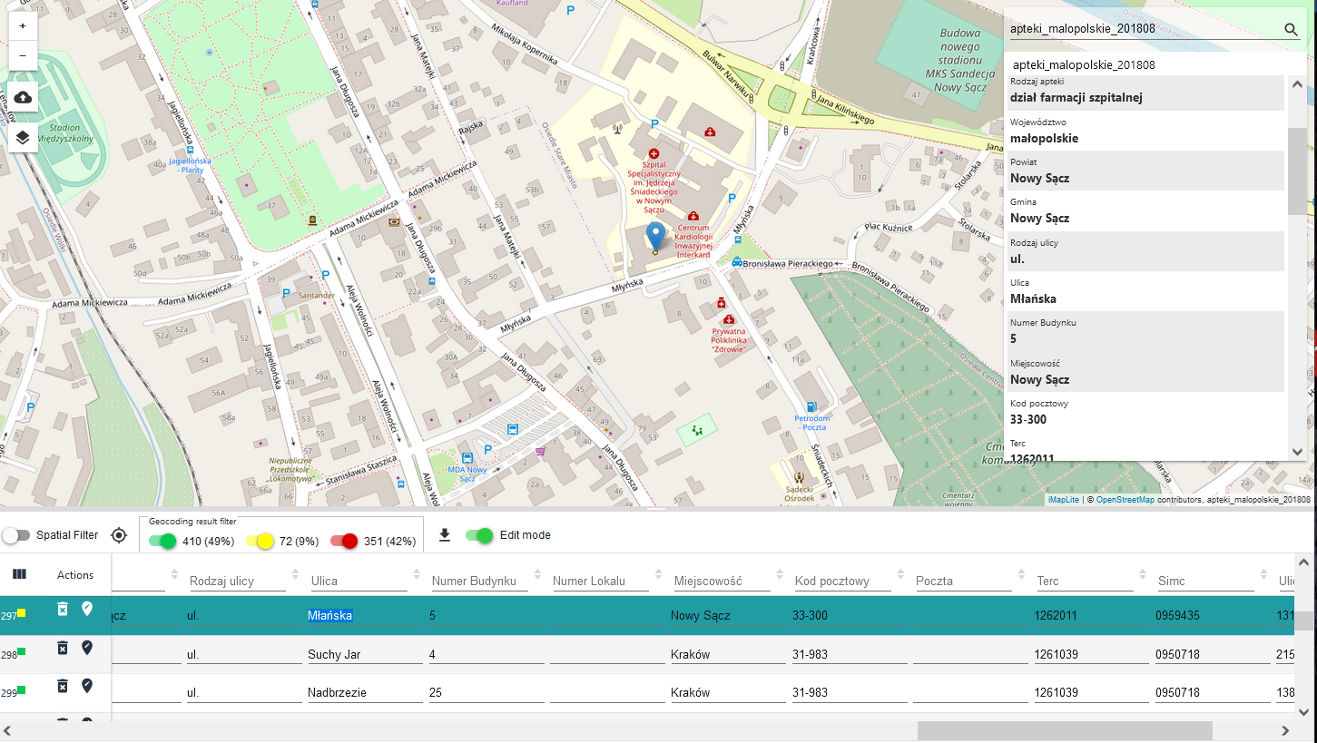
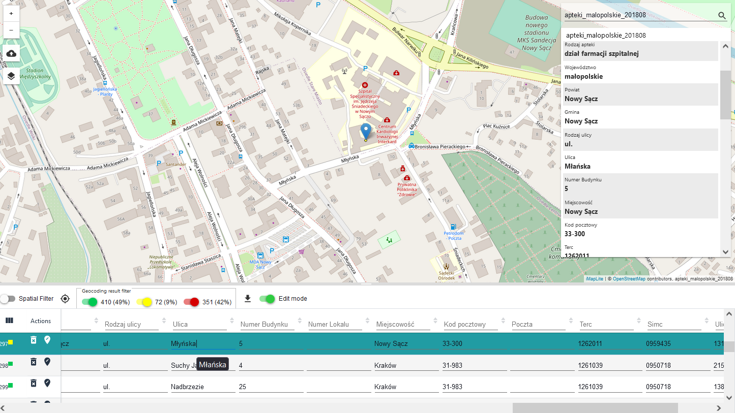
When the Edit Mode is activated, the user can edit any field in the table. To edit a field, e.g. [Street Name], the user clicks on it with LPM. The cursor appears in the selected field. The user can add missing data as well as change existing data. Changing the value of a field directly in a table cell is confirmed by pressing the {Enter} key. Changing the value of a field directly in a table cell and confirming the change by pressing the {Enter} key, causes the geocoding of that single record to be re-examined with the changes made.


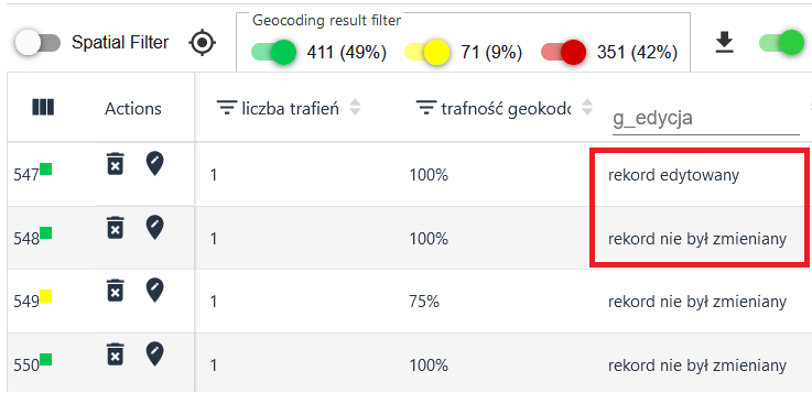
Additionally, in the table in the column g_edit, the System displays information about whether the record has been edited.

Entry of object position
To add a position of an object, the user selects the button ( ) {See geometry}. Then the user indicates the location of the object on the map (useful when the object has not been searched for, has no geometry, and we can at least approximate its location and thus complete the geometry needed for further work).
Delete active layer record
To delete an unnecessary record, the user selects the ( ) {Delete} button.
