Description of application
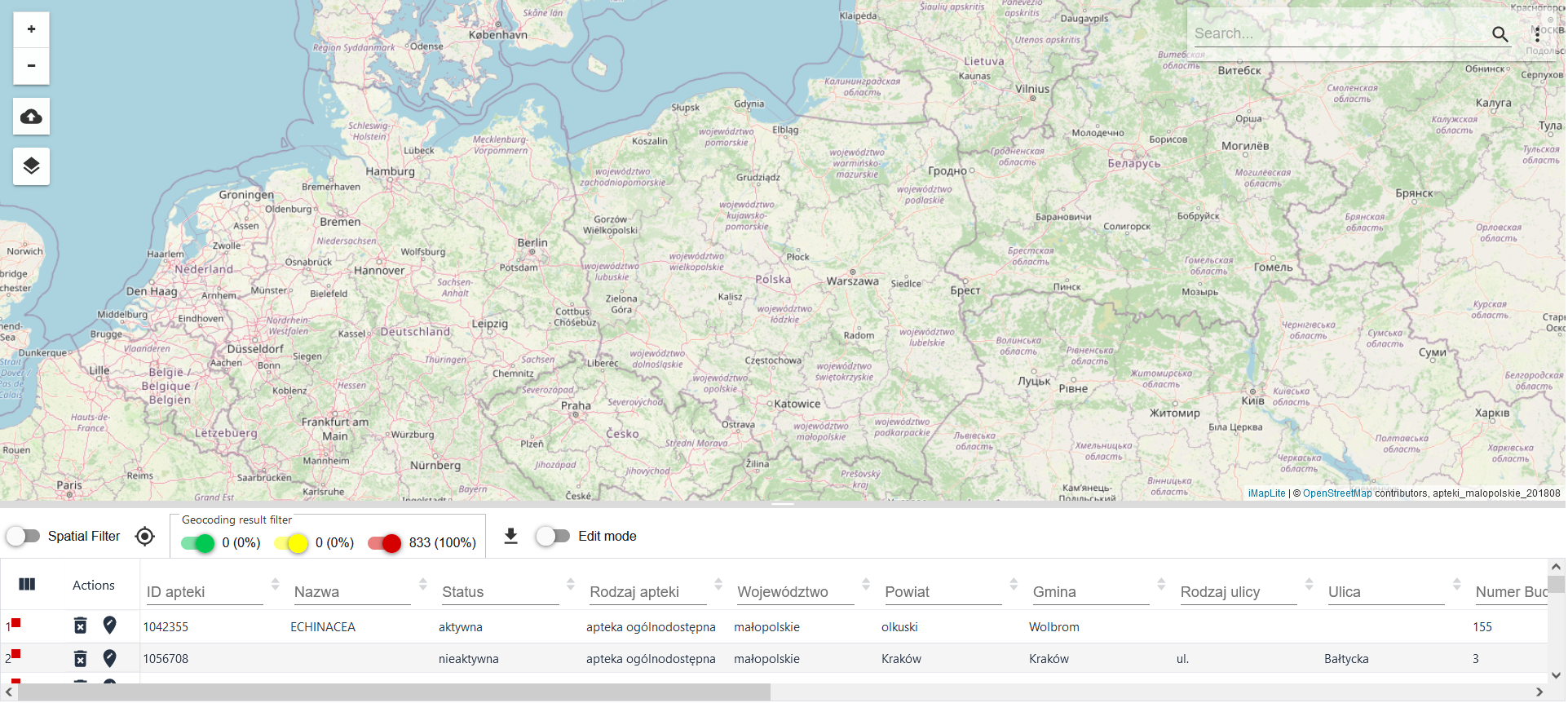
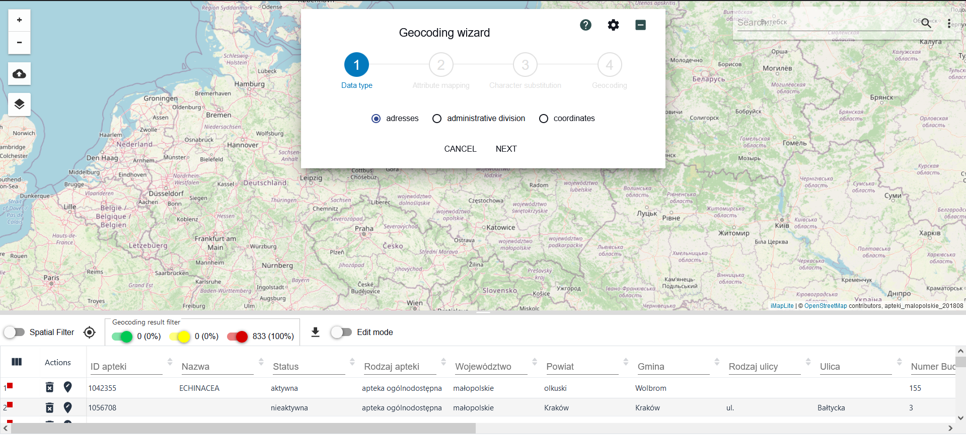
The geocoding application uses standard components of the map application client (base map, zoom functionality, table associated with the map) and functionalities closely related to geocoding (geocoding filter, presentation of geocoding results).

The application allows the user to geocode objects on the map by loading a data file and applying selected geocoding filters and presentation methods.
Rules of navigation in the application
Conventions used in the document
| Transcription | Meaning |
|---|---|
| Functional name | Designation of the name of the functions or tools described |
| [Name of edit field] | Designation of an edit field "Name of the edit field" or a selection list. |
| {control element name} | |
| Designation of the control "Name of the control" such as: button, icon, checkbox, selection list item |
Description of user interface controls
|Appear
| ance | Description |
|---|---|
| Edit field - text | |
| Selection list | |
| Button (Radio button) | |
| Checkbox, switch | |
| Buttons |
The central part of the app is a background map with an area reserved for tables.

Options are also available:
zoom in
zoom out
Identification
Load file from disk
Layers
Aid resources
