Export of geocoding results to file
The export file is saved in the standard browser directory - there is no need to specify a directory or file name.
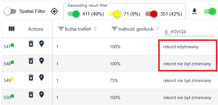
When exporting, the user can select the format in which the resulting file will be saved and the target coordinate system, for example:
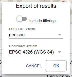
The user can also use the 'Include filtering' slider to select whether all table records or only those for which filtering is set will be exported.
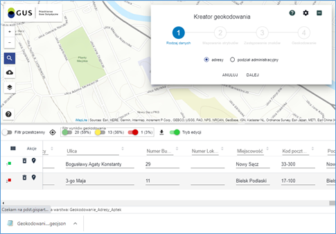
Export/import geocoding configurations to/from file
With the geocoding wizard running, it is possible to export the current geocoding configuration to a file or import the configuration from a local drive.
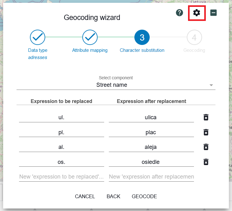
The user indicates the button ( ) the application displays a list of tools.
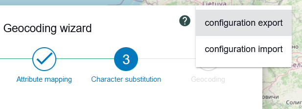
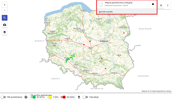
Configuration export is the export of the elements that make up the geocoding configuration to an external file in json format. The file has the fixed name "iMapLite_geocoding_config.geojson" and is saved in the browser's default directory, similar to exporting geocoding results. If a file with the same name exists, another number is added to the file name, e.g. "iMapLite_geocoding_config(3).geojson".
If the import tool is selected, the system provides a form to select the file. The file is then verified, if it is correct, its contents are loaded into the forms, overwriting the current settings of the geocoding wizard.
