Layers
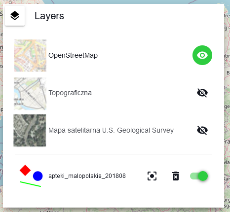
The {Layers} allows the management of displayed services and layers. By clicking the icon next to a given service/layer, the user can enable its visibility in the map window
or disable it
.
Additional tools are available for the imported data layer:
{Zoom to Layer} - zoom to layer view
{Delete} - deleting a layer from an application
{Enable/Disable layer} - enable or disable layer visibility in the map window

Zasoby Pomocy
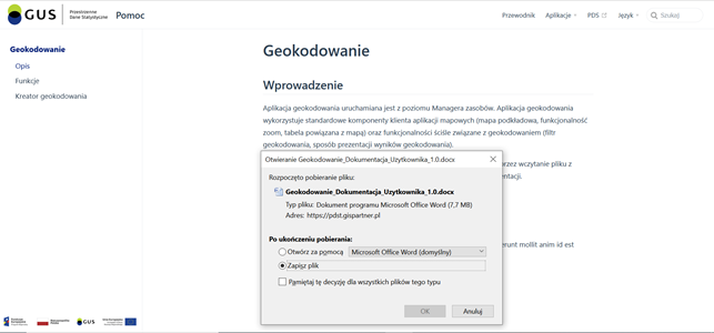
After clicking on the {Help Resources} icon ( ) located in the left menu bar, a new browser window opens with a description of the application and its functions as well as a link to the user manual for downloading.

